Due to the rapid development in cities and suburban areas worldwide, and to the increase in the cost of maintaining a huge amount of geodetic landmarks, many governments feel the need to establish a modern vertical control system which could be used by practitioners of surveying, mapping and engineering, and that, at lower costs.
The GPS leveling that combines the ellipsoidal heights and geoid is a very necessary technology that will support the realization of future 3D positioning activities of our clients in their own countries, while reducing overall costs.
To achieve this, ground, airborne and satellites gravimetric data are required and used to calculate a geoid model of the Earth. The model can be imported in GPS or GPS software.
The following Geodetic techniques are used for this application:
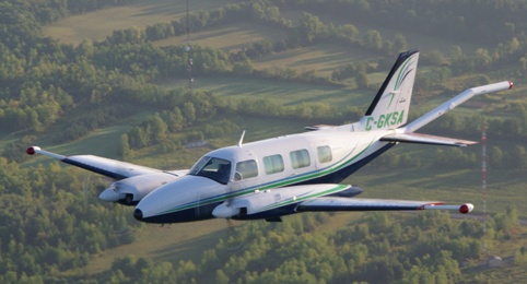
- Ground gravity Survey;
- Airborne Gravity Survey.
We completed last year (2015) the establishment of Oman's Geoid Model for Oman’s Nation Survey Agency including a nation-wide Airborne and Ground Gravity Survey
For more information, please contact our Airborne Survey Team