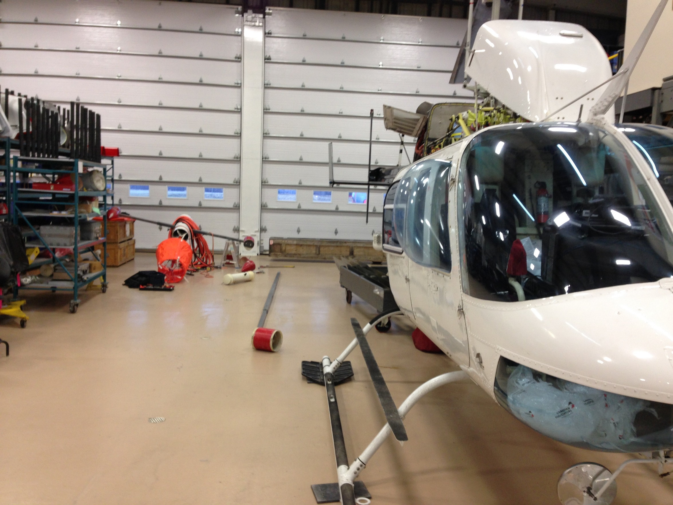
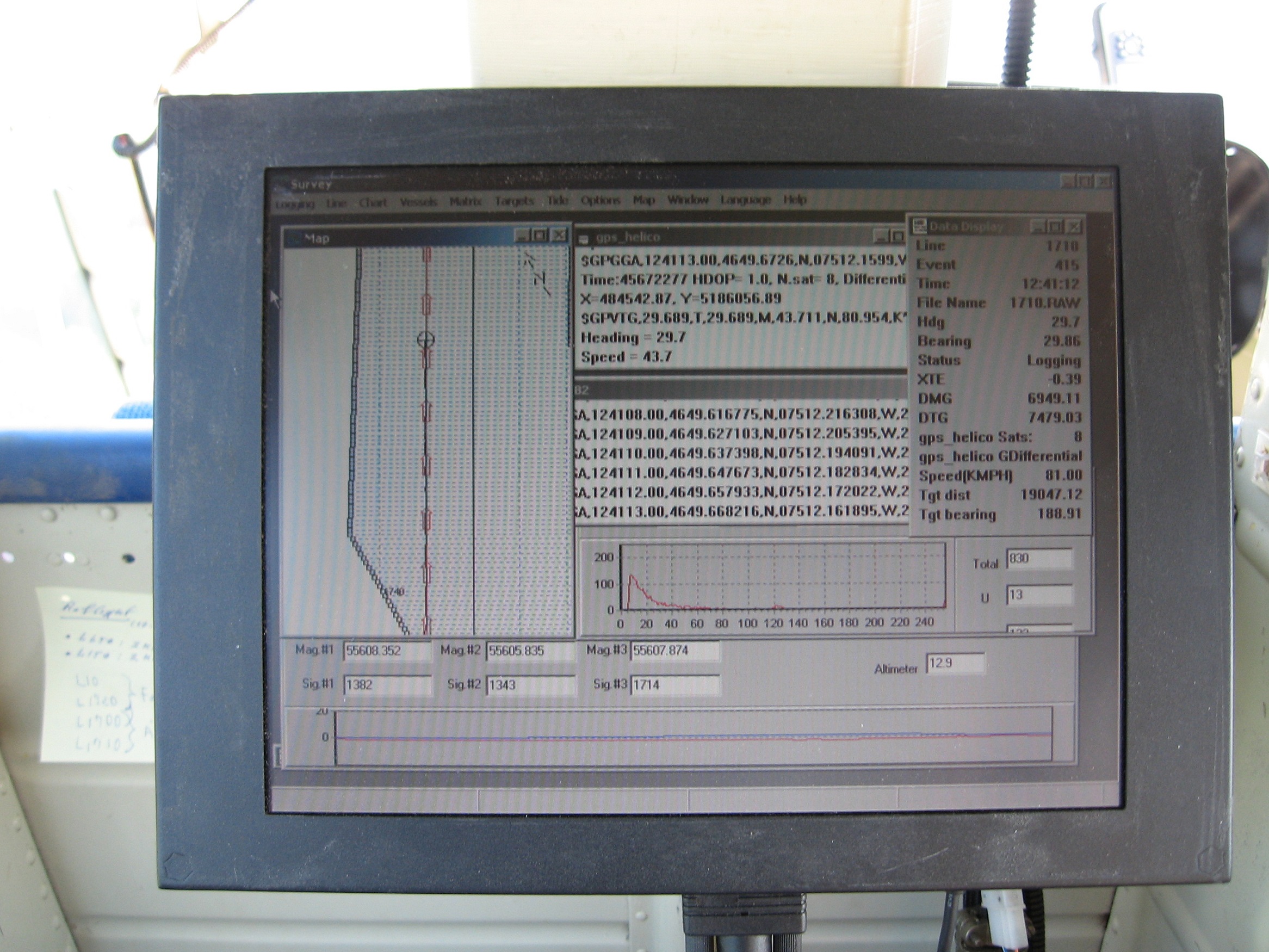
Geophysics GPR is very experienced in choosing the most appropriate methodologies for subsurface mapping of overburden/soils and bedrock from the numerous geophysical techniques available.
The choice of method(s) needs to be based on the ultimate goal of the client, knowledge of the site conditions, knowledge of the regional geology, and knowledge of the geophysical principles.
Other methods of Geology and Geotechnics, including gravimetry, georadar and other EM techniques, are also regularly employed for mapping geology.
In addition, Geophysics GPR offers many of the above methodologies through ground and marine techniques. For more complete information regarding these techniques, visit the dedicated sections of our website.
For more information, please contact our Airborne Survey Team


