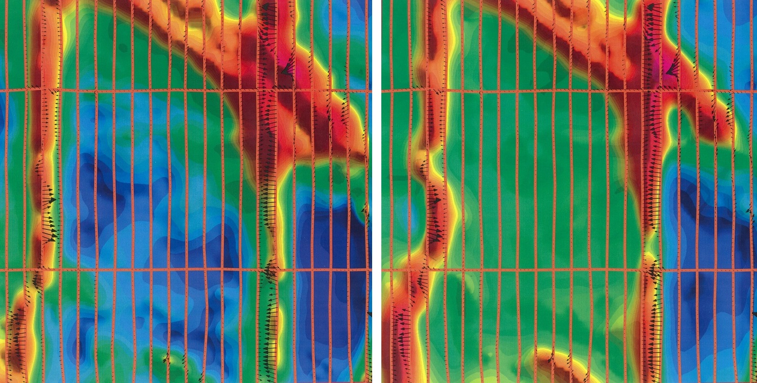

Airborne magnetometers are used to detect magnetic anomalies in the Earth's local magnetic field. The anomalies may be an indication of concentrations of ferromagnetic minerals in the Earth's crust and may be used to visualize the geological structure of the upper crust in the subsurface, particularly the spatial geometry of bodies of rock and the presence of faults and folds. This is a particularly useful tool for geological mapping for the areas where bedrock is obscured by overburden or water.
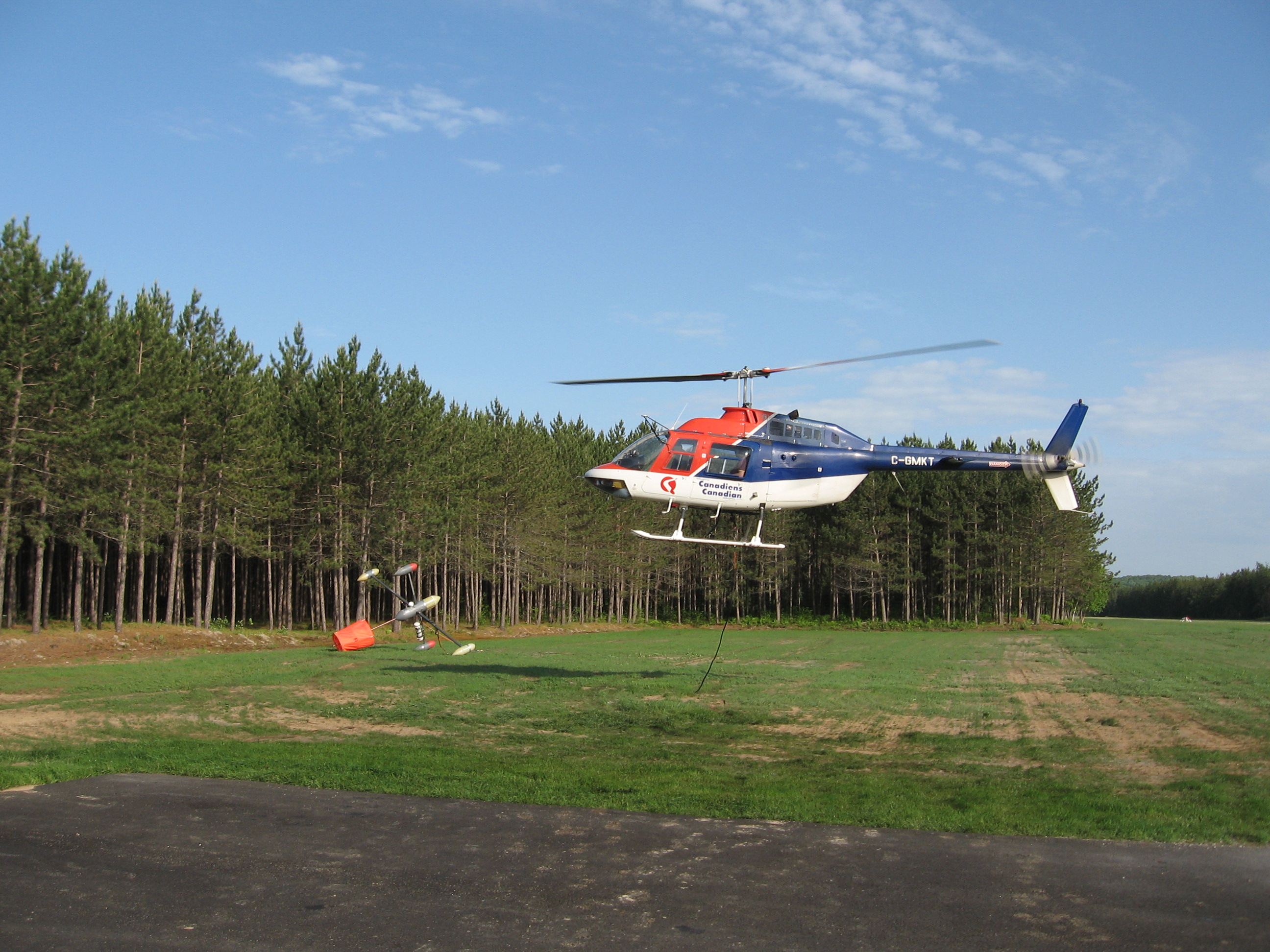
The HeliMAGer ™ system consists of a stable helicopter-borne vector platform, developed by Geophysics GPR International Inc.
The HeliMAGer ™ is capable of accepting a range of different sensors / instruments, particularly useful for the mapping and exploration of mountainous regions (Mouge and Chalifoux, 2005). The platform allows the arrangement of the sensors in three orthogonal directions. For normal survey, the system was configured as a horizontal magnetic gradiometer.
The advantages of measuring the horizontal gradients allow the production of the Enhanced Total Magnetic Field map which provides more spatial information than the total magnetic field. Enhanced Total Magnetic Field data is useful in identifying more accurately the location of small anomalies, contacts, dykes and faults between flight lines.
Regular surveys constist of two (2) Geometrics G-823A (optically pumped caesium vapour) total magnetic field sensors with a sampling interval of 0.1 second were mounted 6 meters apart on the gradiometer, below a 30 meters cable under the helicopter. The magnetometers include the well proven high performance G-823A sensor with the small size CM-201 Larmor counter. The magnetometer sends the measured magnetic field strength as nanoTesla (nT) units directly to the data acquisition system via a RS-232 port. It provides unmatched versatility of performance, size, function and cost effectiveness.
For more information, please contact our Airborne Survey Team
